Otford Mount
Distance: 4.5 or 3 Miles (2h 15m or 1h
30m)
OS Map: Explorer 147 (Start at grid
reference TQ525594)
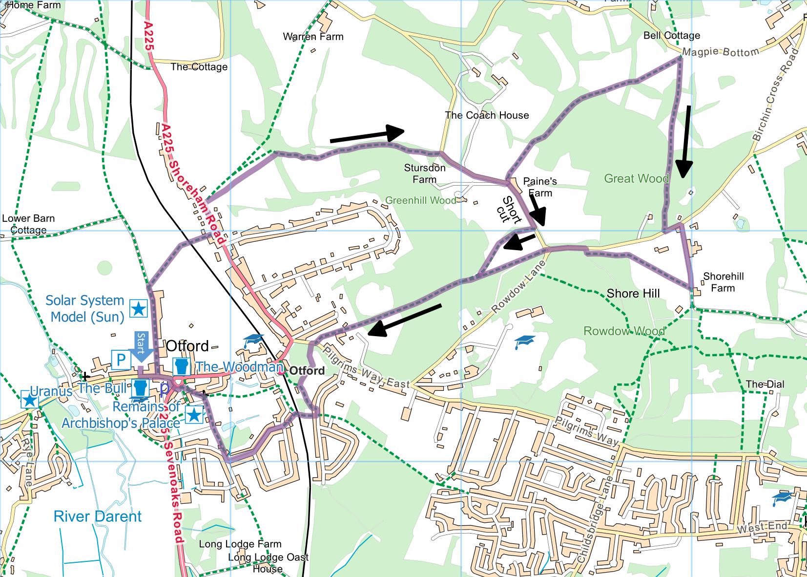
Click map to enlarge and click
again to enlarge further
Park in the public car park in Otford – the entrance
is opposite The Bull public house in the High Street.
Alternatively, arrive by train and start the walk from
the station. At weekends it is also possible to
park near the junction of Bubblestone Road and Well Road
but from Monday to Friday there are parking restrictions
that differ from street to street.
Turn left out of car park into High Street and take
first lane on left. Soon after last building on
right go up concrete steps on right, through gate and
along left hand side of field. Cross railway and
follow path between high fences to road.
Cross road and turn left along it. Initially
you have to walk in road, so be very careful.
After 140 metres take footpath on right, steeply uphill
through a couple of gates to seat with panoramic views
across Kent.
Take uphill path to right of seat and follow waymarks
through wood and along top of meadow passing stile and
seat to small metal gate on left. Through gate,
climb diagonally right across field to another metal
gate and take track through woods to Rowdow Lane.
Turn right along lane until just before The Granary
at Paine’s Farm on left.
If you want to reduce length of walk to three
miles, continue along road until you come to footpath on
right that takes you into field with trig point in
middle to rejoin main route. But you will be
missing the finest part of the walk.
For longer route, take the footpath through gate on
left just before The Granary. Initially walk
between fences but on entering open field go straight
ahead to lowest point of field and enter wood.
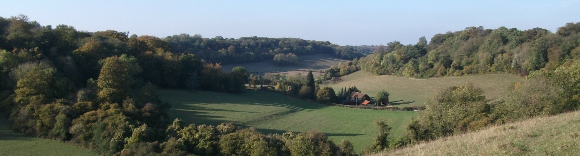
When path emerges from wood you are in a beautifully
peaceful valley designated as a conservation area.
Continue straight ahead across valley and steeply up
other side. At top, go through short wood into
field. Cross field diagonally to meet road just
past house hidden behind tall conifers. Don’t go
onto road but turn right uphill on another path taking
you to highest point of field. Go past a short
section of wood into open valley where colours in autumn
are magnificent. Bear left to bottom of valley and
into wood.
Follow path through wood to Birchin Cross Road.
Turn left and take first path on right (joining the
North Downs Way) across a couple of fields then along
path beside wood, at end of fence on right turning sharp
right back to Birchin Cross Road. Turn left and at
road junction cross grassy island to gate and enter
field with trig point in middle – this is where long and
short routes meet up.
Make for bottom left hand corner and take track,
still North Downs Way, downhill to road. (About
half way down, marked as Tumulus on the map, is a bronze
age burial site – one of many in the area, although most
have been ploughed level and are visible only from the
air as circular patterns in the crops.)
Cross road and go through gate into old chalk pit.
Go down steps to bottom, follow right hand edge and
leave by track on right about half way along. When
this meets metalled path, turn left and follow it to
Tudor Road. Turn right and very soon take path on
right between houses. Follow this across railway
and then take left hand fork. Emerge into Well
Road and turn right. At a T-junction, turn right
and at first corner take footpath on right. Follow
this path, noting Richard Russell’s stone plaque on wall
on left, and also remains of Archbishop’s palace – tower
at far end of building on left. On entering
churchyard, bear left past church to emerge by duck
pond, allegedly only duck pond in the country to be
listed building.
Cross to High Street, noting on numbers
20-24 opposite sundial commemorating the coronation of
Queen Elizabeth I. This building was erected in
the late 1700s as the workhouse and later divided into
three cottages. Continue on left hand side
to Zebra crossing. Cross here and return to car
park.
.
|
Points of Interest
Archbishop's Palace
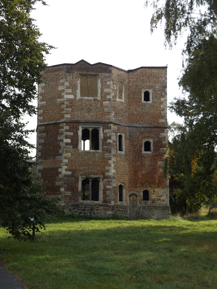
One of the residences of the Archbishop of Canterbury
from the ninth century until Henry VIII forced
Archbishop Cranmer to relinquish it to the Crown.
In the early sixteenth century Archbishop Warham
extended the Palace to rival Hampton Court in size and
splendour. Now only part of the gate house
remains.
Richard Russell Plaque
This plaque was removed to its present location from
a tower on Otford Mount that was erected by Russell in
1874 for the purpose of watching fox hunting and steeple
chasing.
Public Transport
The walk passes close to Otford station where there
are trains from London and Sevenoaks.
In addition to the walking routes on our web site we
have published three popular walking guides:
Guide to Tunbridge
Wells Circular Walk and other walks in the area
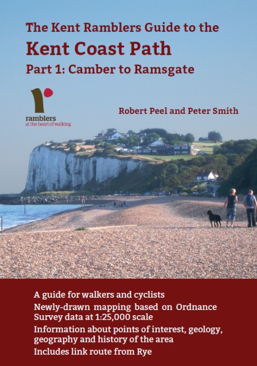
Guide to the
Kent Coast Path: Part 1, Camber to Ramsgate
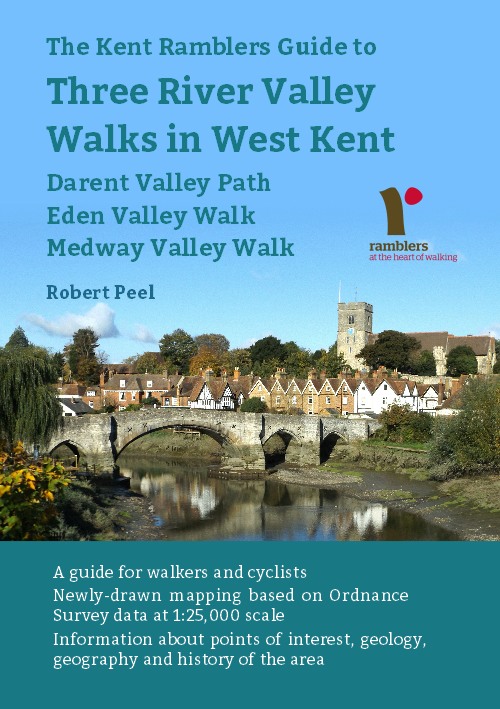
Guide to Three
River Valley Walks in West Kent: Darent Valley Path,
Eden Valley Walk and Medway Valley Walk
Please report any problems with this walk to
info@kentramblers.org.uk.
Ramblers' volunteers in Kent work tirelessly to
ensure that our paths are as well protected and
maintained as possible. Of course we also organise
led walks but most of our members are independent
walkers who simply want to support our footpath work.
Please
join us and become a supporter too. You need
us and we really need you.
Map contains Ordnance Survey data © Crown copyright
and database rights 2022. Some paths on map are based
on data provided by Kent County Council but do not
constitute legal evidence of the line of a right of way |