Rolvenden Short
Circular
Distance:
2.8 miles (1h 20m)
OS Map:
Explorer 125 (Start at TQ845313, Rolvenden Church)
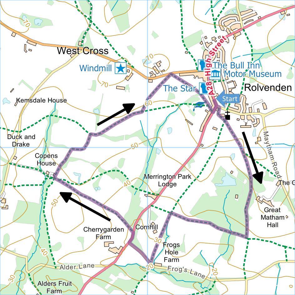
Click map to enlarge and click
again to enlarge further
On street parking is available close to the church.
Immediately to left of white weather boarded house at
junction of A28 and Maytham Road take path into
churchyard. Pass war memorial on right, and past church
bear left. Take second path on right emerging through
wooden kissing gate (if kissing gate is metal you turned
tight too soon so turn left along field edge to correct
gate).
Take path heading away from gate following High Weald
Landscape Trail, gradually bearing left across fields to
gate. Follow path into woodland, passing on left grounds
of Great Maytham Hall. Continue, path becoming fenced,
to another gate. Go through, turn right (leaving High
Weald Landscape Trail here) and walk along edge of field
to corner, through gate and downhill through trees to
stream. Cross footbridge then go uphill to gate. Follow
right-hand edges of two fields passing pond on left.
Through another gate, turn left then right around pond.
Go ahead across field to waymarker post and turn left.
Continue to stile, go straight ahead across next
field, cross another stile then bear gradually left down
to bottom corner of field. Go through gate and
over stream into lane.
Turn right along lane to A28, turn right along edge
of main road for about 80 metres then take byway on left
through gate. Go straight ahead, following path beside
fence to gate. Go through and follow right-hand edge of
field to another gate. On far side turn right,
immediately going through another gate. Follow path
uphill passing Elphees on left and pond on right. Soon
after pond at kink in field line go over stile ahead and
follow left hand edge of field, bearing first right and
then left to gate in corner.
Through gate, now joining High Weald Landscape Trail,
turn right along field edge to gate. Cross next
field diagonally to corner. Cross footbridge,
stile and then second footbridge. Turn left until field
widens then bear diagonally right to metal kissing gate
at far corner onto road.
Immediately go through adjacent metal kissing gate on
right and cross field diagonally to gap in hedge.
Bear left along edge of school field and down access
track to main road. Turn left back to starting
point.
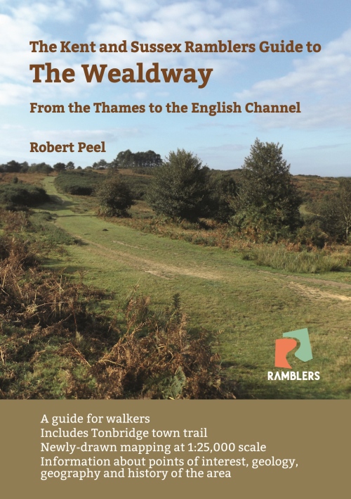
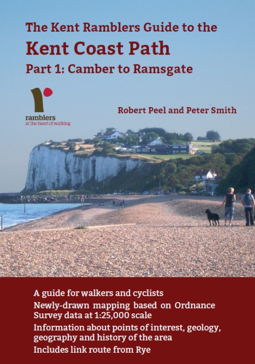
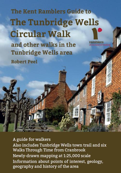
In addition to the walking routes on our web site we
have published four popular walking guides:
|
Points of Interest
Water Tower House
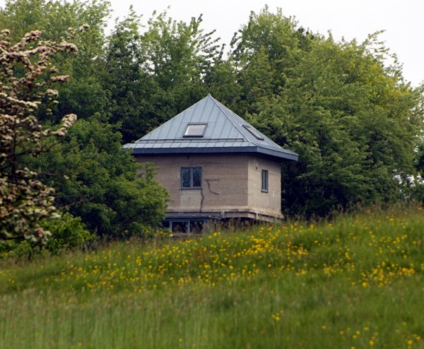
You will catch glimpses of a
water tower that was converted into a house as a project
featured on an episode of the Grand Designs television
series.
Great Maytham Hall
The Hall was once the home of
author Frances Hodgson Burnett. The gardens are said to
have been the inspiration for her book The Secret
Garden.
Rolvenden
The C M Booth Motor Museum is
tucked away behind an antique shop in the High Street,
boasting a unique collection of Morgan 3 three-wheel
cars. The Star Inn in the village is a Grade II listed
building and was formerly the village poor house.
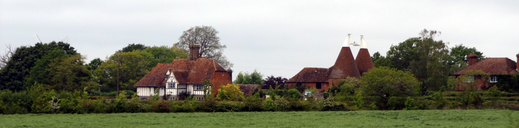
Rolvenden Windmill
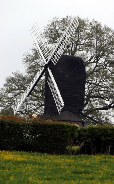
The post mill visible on this
walk may be the oldest windmill in Kent of which
anything remains, perhaps the original mill that was
shown standing here on a map of 1596. It was a
corn mill, last used around 1883 to 1885 and virtually
derelict by the end of World War I when parts were
burned for firewood by troop stationed in the area.
It was restored in 1956, paid for by a Mr & Mrs Barham
in memory of their son who was killed in a road
accident.
Saxbys
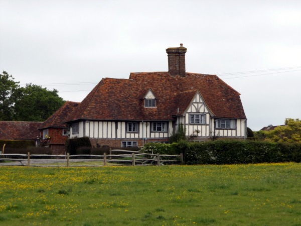
T-shaped restored C16 or earlier
timber framed building with plaster infilling, the
ground floor rebuilt in red brick.
Public Transport
Rolvenden is served by the 297
bus from Tunbridge Wells to Tenterden which runs every
couple of hours except on Sundays when there is no
service.
Please report any problems with this walk to
info@kentramblers.org.uk.
Ramblers' volunteers in Kent work tirelessly to
ensure that our paths are as well protected and
maintained as possible. Of course we also organise
led walks but most of our members are independent
walkers who simply want to support our footpath work.
Please
join us and become a supporter too. You need
us and we really need you.
Map contains Ordnance Survey data © Crown copyright
and database rights 2024. Some paths on map are based
on data provided by Kent County Council but do not
constitute legal evidence of the line of a right of way.
|