Sissinghurst Castle &
Frittenden
Distance: 5.4 Miles (2h 30m)
OS Map: Explorer 137 (Start at grid
reference TQ806383 )

Click map to enlarge and click
again to enlarge further
Park in National Trust car park at Sissinghurst
Castle. There is a £4 charge for non-members.
On returning to the castle you can have a tea and if
you are feeling energetic do a walk in the woods by the
lakes (leaflet available from ticket office) where the
bluebells in April/May are superb.
Follow the meandering path through the centre of the
car park to the top, bear right to a gap in the corner
and bear right across bottom of orchard to finger post
in front of house. Turn right down bridleway
between hedges. Follow all the way to Digdog Lane.
Go straight across and down Sand Lane. Take
path over first stile beside gate on left and bear right
across field passing lone tree to stile. Head
straight across next field to another stile and across
field after that to corner of protruding hedge.
Follow line of power cables ahead to first pole in
middle of field then bear left towards steeple of
Frittenden church, crossing a couple of fields before
reaching village main street.
Turn right along main street past church and opposite
school entrance take path alongside private drive to
Hill Farm on right. At first bend cross drive and
take path over stile opposite. Follow left hand
edges of small field and large field. At corner go
over stile on left and along right hand edge of orchard
to stile. Follow left hand edges of two more
fields and cross third to Sand Lane.
Turn right, pass Chanceford Cottage and take footpath
by gate on left. Follow left hand edge of field
for 130 metres to fingerpost (it may be hidden by
foliage from hedge but it is at a point where the field
widens) then turn sharp right across field to two
stiles. Bear left across next field to stile in
corner then right along field edge to T-junction of
paths.
Turn left to corner of protruding hedge. Keep
hedge on your left to next bend and a footbridge.
Don’t cross the footbridge but turn right across field
towards the right hand corner of a tall hedge.
Turn left along the hedge then right at the corner and
along the right hand side of the field to Sand Lane.
Turn left and opposite Brissenden Farm take a
concrete path on left past barn. Bear right across
field to pedestrian gate. Cross next field to
stile by tree. Cross next field to bridge.
On other side head down left hand edge of field.
At corner bear slightly right to another bridge and
across field to a lane.Turn right. At junction,
keep right. Pass Bettenham Manor and when lane
bends right take signposted track on left and follow
back to Sissinghurst Castle.
|
Points of Interest
Sissinghurst Castle
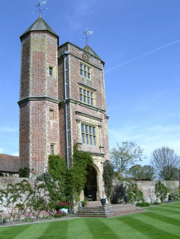
The home of Vita Sackville-West and her husband Harold
Nicholson...

...where they created their acclaimed garden.
Woodland Walk
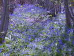
Lots of bluebells in spring...
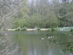
...and some fine lakes full of
fish.
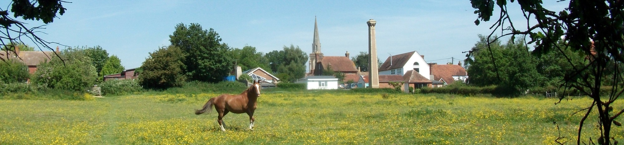
Frittenden
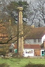
The prominent chimney on your right as you approach
Frittenden was for a boiler to generate steam to operate
machinery in a timber yard belonging to the village
builder Charles Pearson. Dates are not clear but it
seems that the business was operating at least until
just before World War I.
Public Transport
Getting to Sissinghurst by public transport is not
easy. There are buses from Maidstone to the
village but there is then still over a mile to walk to
the Castle. There are buses from Tunbridge Wells
to Cranbrook from where you can do a 10.2 mile circular
walk that includes Sissinghurst Castle – this is
described in the first of our guides listed below.
In addition to the walking routes on our web site we
have published three popular walking guides:
Guide to Tunbridge
Wells Circular Walk and other walks in the area
Guide to the
Kent Coast Path: Part 1, Camber to Ramsgate
Guide to Three
River Valley Walks in West Kent: Darent Valley Path,
Eden Valley Walk and Medway Valley Walk
Please report any problems with this walk to
info@kentramblers.org.uk.
Ramblers' volunteers in Kent work tirelessly to
ensure that our paths are as well protected and
maintained as possible. Of course we also organise
led walks but most of our members are independent
walkers who simply want to support our footpath work.
Please
join us and become a supporter too. You need
us and we really need you.
Map contains Ordnance Survey data © Crown copyright
and database rights 2022. Some paths on map are based
on data provided by Kent County Council but do not
constitute legal evidence of the line of a right of way |