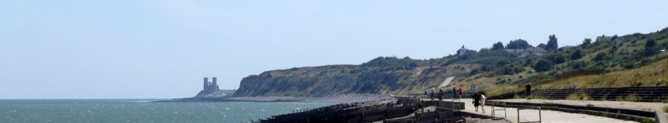
Saxon Shore Way
 The
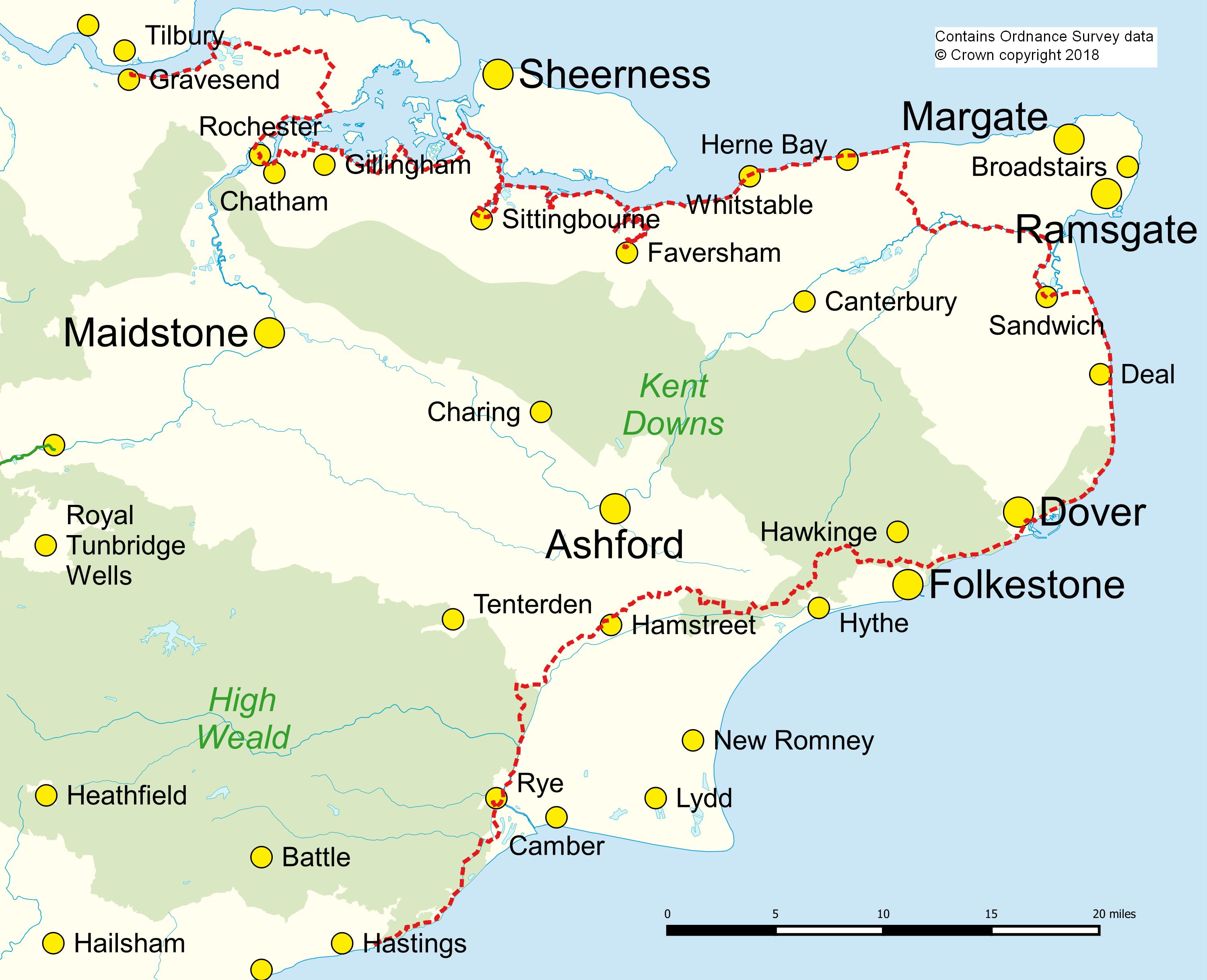
153-mile (246 km) Saxon Shore Way from Gravesend to
Hastings offers the walker an unrivalled diversity of
scenery from the wide expanses of marshland of the
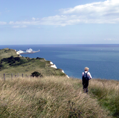
Thames and Medway estuaries to the majestic White Cliffs
of Dover. Spectacular panoramic views follow the route
along the escarpment of the old sea cliffs from
Folkestone to Rye and from the sandstone cliffs of the
High Weald at Hastings. The historian is treated to
the "Saxon Shore" forts built by the Romans at Reculver,
Richborough, Dover and Lympne, to the landing place of
St. Augustine and of Caesar and to defences of more
modem times against Napoleon and Hitler.
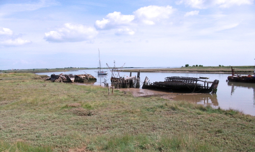
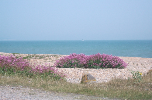
The shoreline provides a treat for the naturalist and
is a delight for birdwatchers. Sections of the route
pass through internationally recognised areas of
importance for birds – look out for divers and
grebes, peregrines at Dover Castle and Bewick Swans
wintering on Romney Marsh.
The Saxon Shore Way is a great walk for all interests
and all abilities, from family groups to the seasoned
rambler.
A History of the Walk
Back in the 1970s there was much talk in footpath
circles about the concept of a footpath circling the
coast of Great Britain. It didn't then come to
pass, but it spurred a group of enthusiastic volunteers
to see what they could do to create a route around the
coast of Kent. They concluded – not
necessarily correctly – that the
modern coastal route would not provide an ideal or
varied walk. So they cast back some 1700 years and
decided upon a route that would follow the Roman
shoreline in the third century AD. The Romans were
plagued by Saxon pirates and fortified the shoreline
against them. From that the walk took its name.
Initial work was done by Andrew Gray assisted by
Sheila Cameron, working under the auspices of the Kent
Rights of Way Council, an organisation which represented
many Walking and Rights of Way groups in the County.
When she left, the main coordinators became Andrew Gray
and Elsie Straight, who, with the assistance of many
volunteers and the limited resources of Kent County
Council, created
a 140 mile path around the coast.
On 22 June 1980, His Grace, the Lord Archbishop of
Canterbury unveiled a sign stone at the Grove Ferry
Picnic Site near Sandwich and then led a fine body of
walkers along a stretch of the route, to formally open
the route.
Guides to the Walk
At the present time there is no guide to the Saxon
Shore Way in print but Kent Ramblers volunteers are
working on a new guide. If you are planning to
walk the route from Gravesend towards Hastings in a
series of day trips and would like to help test the
draft guide, we would be pleased to hear from you.
The testing arrangements are that we will email you
the first two sections of the route to test out.
When we receive your comments we will email you two more
sections, and so on. This process ensures that you
are always testing a recent draft of any particular
section and that we get the feedback we need. We
do not charge for supplying sections of our guide under
these arrangements and we do not make any payments for
the feedback we receive. If you are interested
then please contact us on
books@kentramblers.org.uk.
The section
from Sandwich to Capel-le-Ferne follows almost the same
route as the England Coast Path which is described (but
in the opposite direction) in our
Guide to the Kent
Coast Path: Part 1.
Accommodation
We are collecting reports on walkers' experience with
accommodation along the route for the benefit of those
following in their footsteps.
The Six Bells, Cliffe. A pub with
five guest rooms.
The
Horseshoe & Castle, Cooling. A pub
with five guest rooms.
Continental Hotel, on the seafront
at Whitstable. "It was a very comfortable, clean
and well-appointed hotel. We had an excellent
supper in their Bistro. Unfortunately we were
unimpressed by the breakfast which was poorly cooked and
did not represent good value for money."
Grove Ferry Inn. Six rooms
available for accommodation.
Woolpack in Warehorne,
was especially enjoyed by two couples and is said to
have an excellent restaurant. It is right on the
SSW for those carrying their luggage. For those
travelling by car, it is just a short drive to Hamstreet
railway station for trains to Sandling via Ashford or
back from Rye.
|