|
Avery's Wood
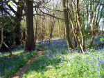
Near Groombridge
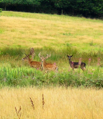
Deer in Eridge Park, reputedly one of the largest and
oldest deer parks in England
|
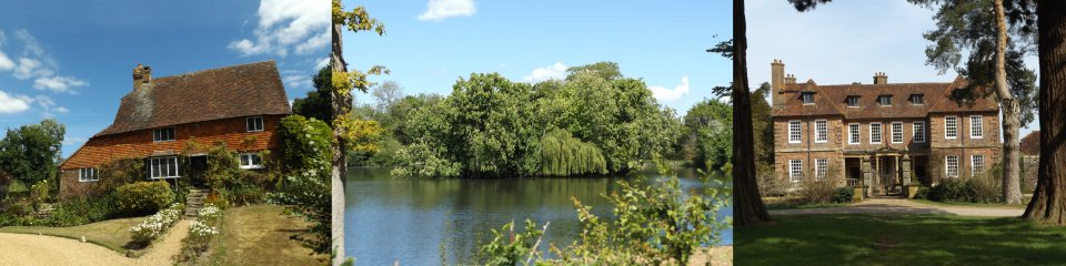
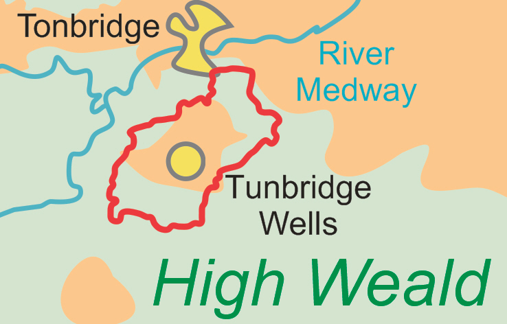
Tunbridge Wells Circular Walk
This walk, previously known as the High Weald Walk
(not to be confused with the High
Weald Landscape Trail), is a 27.5 mile route that
encircles Tunbridge Wells with four link routes into the
town itself allowing the walk to be done as four very
long circular walks. Alternatively, using public
transport, the main circle can be comfortably
accomplished in four walks of lengths ranging from 5 to
10.2 miles – see our newly-published guide below.
The walk, officially opened on 27 June 1994 at
Groombridge Place, was created by the Kent
High Weald Partnership (not to be confused with the High
Weald AONB), a partnership between Kent County
Council, Tunbridge Wells Borough Council and the
Countryside Commission (since merged into Natural
England) in conjunction with the East Sussex Countryside
Management Service. Much of the practical work was
undertaken by volunteers including members of the
Ramblers.
The walk takes in much open countryside and passes
through a number of attractive villages such as
Speldhurst, Groombridge, Frant and Pembury.
Kent Ramblers have published a new
guide to the walk:
Available now from our books page.
Relevant links:
Explore Kent
Long Distance Walkers Association
Royal Tunbridge Wells site
|