Oldbury Hill and Seal
Chart
Distance: 3.4 miles (1.5 hours)
OS Map: Explorer 147 (Start at grid reference
TQ578558)

Click map to enlarge and click
again to enlarge further
Start from free National Trust car park in Styants
Bottom Road at Oldbury Hill. If approaching along
A25 from Sevenoaks take clearly signposted left turn to
Oldbury Hill just after The Amherst Inn (formerly The
Crown Point). Car park is first turn on left after
270 metres.
In front of information board in car park, climb
steps passing orange waymark. Following orange
waymarks, descend into small valley, cross another path
and continue uphill. On meeting another path turn
right, still following orange waymarks, gently downhill.
On meeting bridleway, turn left uphill (now leaving
orange waymarked route which goes straight across) with
camp site below on right. At top bear left between
hedges. Pass some houses and at staggered cross
roads carry straight on. At T junction take path
straight ahead, muddy in wet weather, continuing to road
junction with fine views of North Downs near Kemsing.
Turn left and follow road carefully to public footpath
sign on right. Take this path, keeping left at any
forks, to cross first minor road and then A25.
Take track immediately opposite. Just before
fence and enclosure belonging to water company, turn
left and follow clear path soon bearing right along
fence and to meet broader track, sunken between banks.
Public footpath follows sunken track and you could turn
left along it. However it is preferable to cross
sunken track to less muddy track three or four metres
further on. Turn left along this. Continue,
following a series of tracks that meander between sunken
track on left and slope on right – do not wander too far
from sunken track and do not take any track that
descends significantly.
Eventually meet up with sunken track where it crosses
road at its highest point – if you emerge further down
lane, just walk up to highest point. Across lane
take right hand of two bridleways, continuation of
sunken track. Again you can take more attractive
paths to right but don’t descend significantly.
Again, eventually meet with sunken track on approaching
lane at fingerpost. Turn right past church and
school on left.
Immediately beyond school take bridleway on left, a
further continuation of sunken track. At junction,
straight forward on the uphill path. Pass sign on
right advising danger from drop into quarry over fence
on right. This path follows what may be one of
most ancient routes across the Weald – over many
centuries it had become deeply eroded but early in 21st
century was filled with hardcore by Kent County Council,
in some places to depth of several metres.
After gradual descent and before path climbs again take
path down steps on left by post bearing blue waymarks.
Follow path, passing series of ponds, to emerge on
A25. Turn left for short distance, then cross
carefully opposite Styants Bottom Road and follow back
to car park.
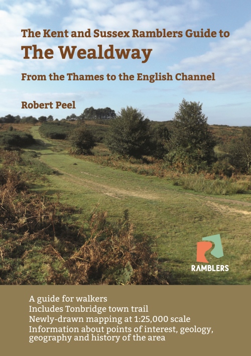
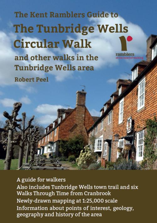
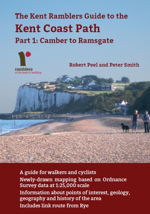
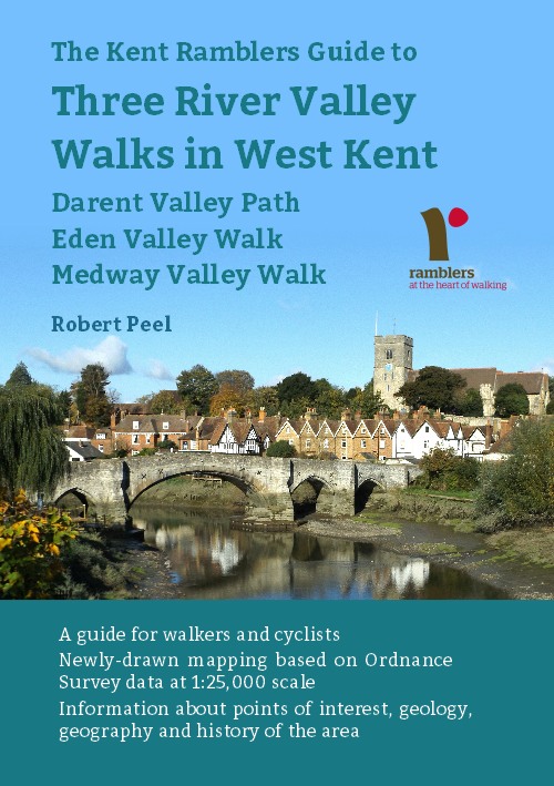
In addition to the walking routes on our web site we
have published four popular walking guides:
|
Points of Interest
The Amherst Inn
Originally a hunting lodge belonging to Sir Jeffrey
Amherst, commander-in-chief of the British Army in North
America when fighting the French for control of what are
now Canadian territories. In 1759 he helped
General Wolfe capture Quebec and in 1760 he captured
Montreal. He was military governor of Canada from
1760 to 1763.
Oldbury Hill
The most impressive Iron-Age camp in England, built
100-50 BC. The ramparts and ditches that enclose
the camp can still be clearly seen on the steep sides of
the hill. There are waymarked walks around the
site of 1 and 3 miles, well worth undertaking before or
after tackling the main walk.

The site also possesses some paleolithic rock
shelters where 50,000 year old hand axes have been
found.
Oldbury Hill and Seal Chart Site of Special
Scientific Interest
Much of the walk is within the SSSI which is
significant for its ancient sessile oak woodland.
In contrast with the chalk Downs to the north, the
wooded ridge along which much of the route passes is a
narrow band of acid greensand with pockets of gault
clay.
Public Transport
Service 308 from Sevenoaks to Gravesend via Borough
Green stops on the A25 near the end of Styants Bottom
Road (not Sundays).
Please report any problems with this walk to
info@kentramblers.org.uk.
Ramblers' volunteers in Kent work tirelessly to
ensure that our paths are as well protected and
maintained as possible. Of course we also organise
led walks but most of our members are independent
walkers who simply want to support our footpath work.
Please
join us and become a supporter too. You need
us and we really need you.
Map contains Ordnance Survey data © Crown copyright
and database rights 2023. Some paths on map are based
on data provided by Kent County Council but do not
constitute legal evidence of the line of a right of way.
|