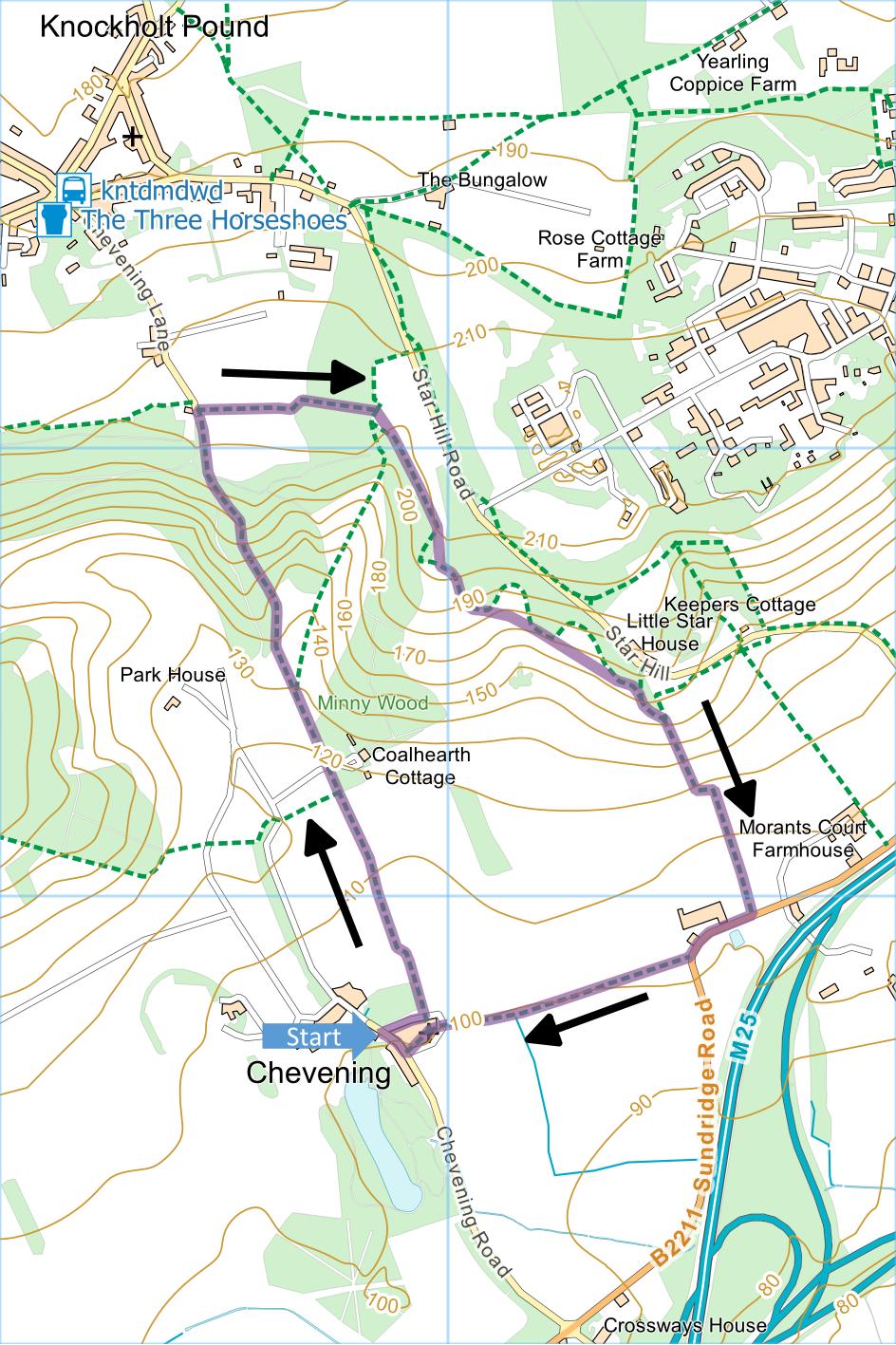
Chevening and Turvin's
Farm
Distance: 2.8 Miles (1h 15m)
OS Map: Explorer 147 (Start at grid
reference TQ489577)
Click map to enlarge and click
again to enlarge further
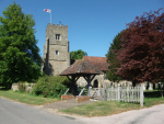
Park near church at Chevening.
Leave road along track to left of church and just
past some garages take path between hedges.
Emerging through gate into open field, follow left hand
edge uphill. Pass gate on the left at lowest point
of field and another (marked “Private Keep Out”) just as
you reach start of woodland on your left. Continue
uphill with woodland on your left, climbing bank to keep
close to fence until you reach stile. Go over
stile and up steep path between fences through wood to
field.
Go to top left corner of the field, turn right along
top of field and go left through gate. Turn right
along broad ride between woods. At end of ride,
bear right. Do not take path immediately on right
into wood continue parallel to edge of wood until you
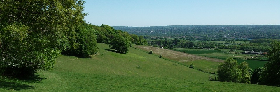
reach kissing gate by larger gate offering fine views
towards Sevenoaks to left and Chevening to right.
Go through gate and keep left following top of
grassland with wood on your left. At end of
woodland, ignore gate on left but bear right downhill,
through gate and along left hand edge of field to road.
Turn right and follow road very carefully to first
bend. Half way round bend, take signposted path on
right (can be muddy after heavy rain) just before house.
Follow path in more or less the same direction towards
Chevening church, into churchyard and back to starting
point.
|
Points of Interest
Chevening House…
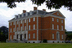
… was designed by Inigo Jones and built in the early
17th century. It was owned for many years by the
Stanhope family and was given to the nation in 1959 to
become the official country residence of a Government
Minister selected by the Prime Minister, usually the
Foreign Secretary.
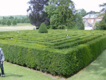
The fourth Earl of Stanhope was a mathematician who
studied maze design and introduced the “island maze” in
order to defeat people who navigate mazes by keeping one
hand on the wall. He built a maze at Chevening in
1820.
Public Transport
Chevening is not easily reached by public transport.
However, the north west corner of the walk can be
accessed from the southern end Chevening Lane which is
550 metres from Main Road in Knockholt Pound which can
be reached by the R10 bus service from Orpington
station.
In addition to the walking routes on our web site we
have published three popular walking guides:
Guide to Tunbridge
Wells Circular Walk and other walks in the area
Guide to the
Kent Coast Path: Part 1, Camber to Ramsgate
Guide to Three
River Valley Walks in West Kent: Darent Valley Path,
Eden Valley Walk and Medway Valley Walk
Please report any problems with this walk to
info@kentramblers.org.uk.
Ramblers' volunteers in Kent work tirelessly to
ensure that our paths are as well protected and
maintained as possible. Of course we also organise
led walks but most of our members are independent
walkers who simply want to support our footpath work.
Please
join us and become a supporter too. You need
us and we really need you.
Map contains Ordnance Survey data © Crown copyright
and database rights 2022. Some paths on map are based
on data provided by Kent County Council but do not
constitute legal evidence of the line of a right of way |