Wingham (Four Water Mills
Walk)
Distance: 6.9 miles (3.5 hours) or
4.9 miles (2.5 hours) if short cut taken
OS Map: Explorer 150 (Start
at grid reference TR 243576)
Click map to magnify and click
again to magnify further
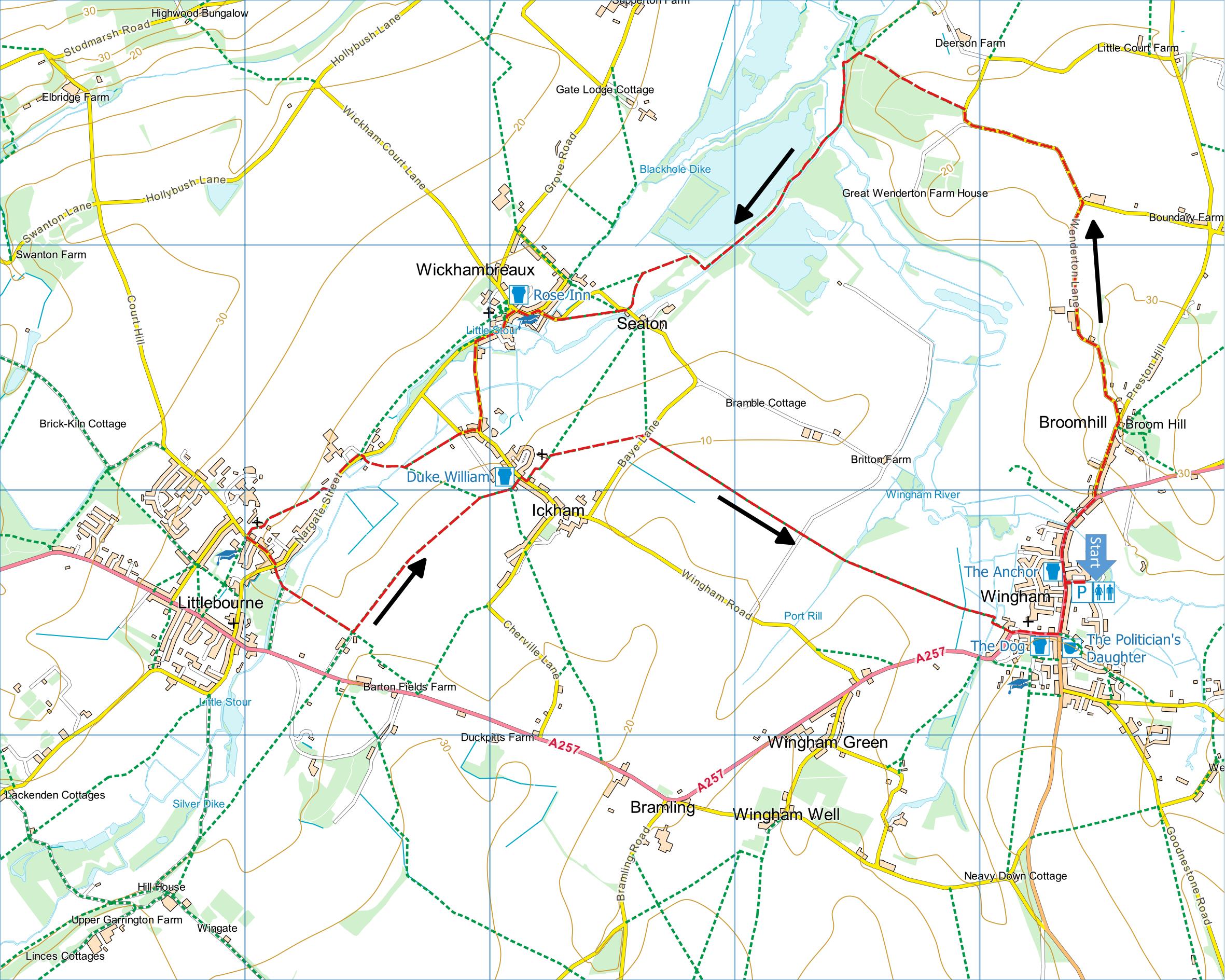
Park in the public car park in Wingham High Street.
(1) From the car park turn right along the High
Street past Wingham Post Office. Continue and
cross the road to take Preston Hill on the left.
Near the top of the hill take the lane on the left,
Wenderton Lane, and follow it to the next junction. Here
go left towards the woods and after the sharp bend in
the road take a footpath on left along the edge of the
wood. Descend to a bridge and cross the Wingham
River. Turn left to follow the riverbank (look out
for kingfishers) and continue past the large lakes
created by gravel extraction. On reaching a fence
turn right to a stile on left. Once over it keep
to the field edge on the left until you join the lane at
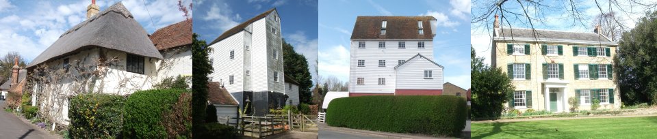
the hamlet of Seaton. Take time to look at the
watermill to your left and see if you can spot any brown
trout in the river. Return to point of joining the
lane and take path over stile on left along field edge
to re-join lane. Bear left to T-junction and
turn left past school into centre of Wickhambreaux.
There is a nice seat on the village green in front
of the church or you may prefer to visit the Rose Inn.
(2) Leave the village along the road towards
Littlebourne; admire the large wooden watermill, now
flats, before turning left along Wickham Lane. As you
enter Ickham you have a choice:- To complete the 5 mile
route, continue on to reach Ickham Church and continue
as (4) OR take the lane on the right for the full walk.
When after 100 metres when the lane turns sharp
right, continue on along a track until you reach a path
coming in from the left and on to a footbridge on your
right. Take this path to the footbridge and on to pass
to the right of another white, weather boarded watermill
(this one is described on old maps as a flour mill
whereas all the others on the walk are described as corn
mills – what the difference might be is not clear.)
Take care on the stepping stones to reach the road.
Bear left along the road to find a kissing gate on the
right. Pass through the gate to take a path
parallel to the road and through horse paddocks to
arrive at Littlebourne Church.
(3) Leave the churchyard by the lych gate and turn L
along the road to the T junction. Here you could,
if feeling weary, follow the road R into the village
where there is a regular bus service back to Wingham.
Preferably you will cross the road to take a footpath to
a mill pond and another watermill. As you pass
round the brick built mill look out for and take a path
to the left towards a large modern house.
On reaching the house turn L on the path towards
Ickham church. As you approach the houses the path goes
diagonally right to converted oasthouses, then via an
enclosed path to the road. You are now opposite Ickham
Church. The Duke William pub is on your right or
there are seats on the village green in front of the
church for eating your lunch.
(4) Walk up to the Church, take the path to the right
of it and, once in the field behind the church, go
diagonally right to a finger post on Baye Lane.
Cross over the lane and now follow the path ahead
straight to Wingham Church. After the church three
more Inns are passed before you arrive back at the car
park in the High Street.
This walk was originally published on a calendar
produced by White Cliffs Group. Thanks to Richard
Blackford for originally devising this route, Diana Backwell for checking the
directions and Andrew Boultbee for the idea. Robert Peel
produced the map, took the photographs and has updated the directions.
.
|
Points of Interest
St Mary's Church, Wingham
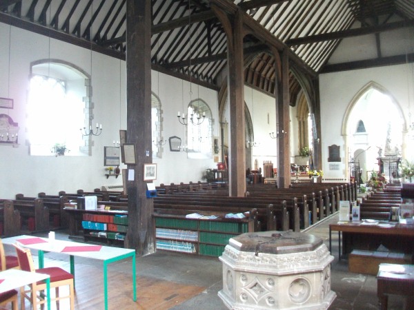
The most unusual feature of the interior is the
wooden pillars, fitted in 1555 after a local brewer
stole the money raised for stone pillars. At one
time the pillars were coated in plaster too look like
stone but this was subsequently removed.
In addition to the walking routes on our web site we
have published three popular walking guides:
Guide to Tunbridge
Wells Circular Walk and other walks in the area
Guide to the
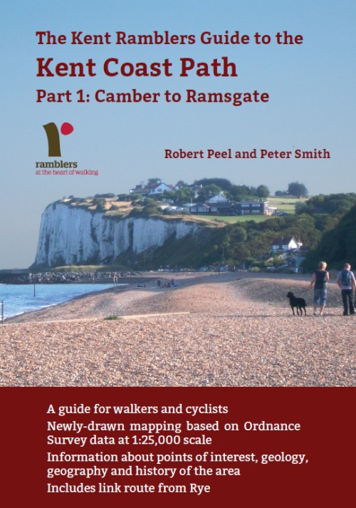
Kent Coast Path: Part 1, Camber to Ramsgate
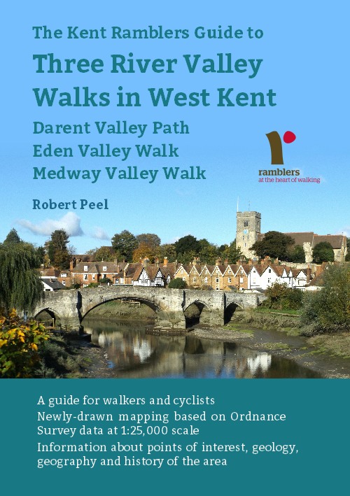
Guide to Three
River Valley Walks in West Kent: Darent Valley Path,
Eden Valley Walk and Medway Valley Walk
Please report any problems with this walk to
info@kentramblers.org.uk.
Ramblers' volunteers in Kent work tirelessly to
ensure that our paths are as well protected and
maintained as possible. Of course we also organise
led walks but most of our members are independent
walkers who simply want to support our footpath work.
Please
join us and become a supporter too. You need
us and we really need you.
Map contains Ordnance Survey data © Crown copyright
and database rights 2020. Some paths on map are based
on data provided by Kent County Council but do not
constitute legal evidence of the line of a right of way |