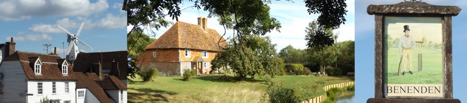
Cranbrook and Benenden
Distance: 9.5 Miles (5 Hours)
OS Map: Explorer
136, 137 & 125 (Start at TQ774358)
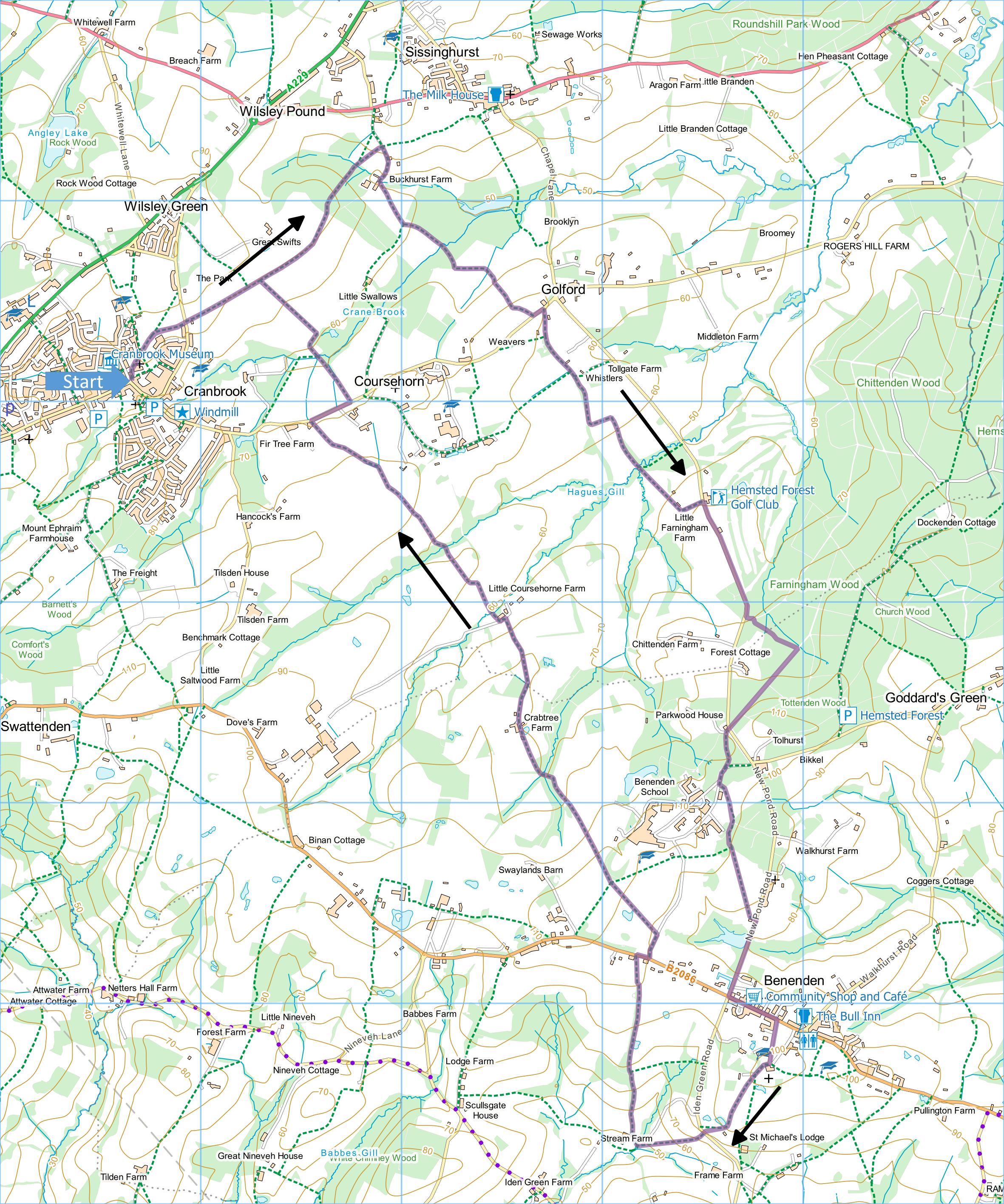
Click map to magnify and click
again to magnify further
There is a large, free public car park by the Coop
supermarket and a smaller one at the bottom of The Hill.
Start outside the tourist information office at the
corner of the High Street and Stone Street. Go up
the steps past the church, take uphill path keeping the
church on your right and on leaving the churchyard go
straight ahead along right hand edge of field.
Continue to main road.
Take path opposite with fence on left. When
HWLT goes off to right, keep straight ahead on concrete
path. On reaching wood, enter through kissing gate
and follow path downhill between fences. At bottom
emerge into steep field and bear slightly right uphill
to kissing gate and down steps to asphalt track.
Turn right downhill to Buckhurst Farm and just before
first building on left take path on left.
Head uphill, through two gates and across field to
kissing gate. Bear slightly left then head
downhill along left hand edge of field. At bottom
corner cross footbridge over stream and head uphill.
Cross broader track and keep climbing to edge of wood.
Go over stile into field and bear very slightly left
downhill to stile by a gateway. Go up right hand
side of field to second stile then take path between
fences to road. Turn left and take first track
(“restricted byway”) on right. Follow this,
gradually narrowing, past house with pond and past right
and left turns until the path goes through a gap in the
hedge on the left. Turn right along field edge to
broad track and turn left along it to next field edge.
Turn right down left hand edge of field to bottom,
through narrow woodland then up left hand edge of next
field. On passing house on left, bear left round
edge of garden then left onto drive and right down drive
to road.
Turn right along road and follow carefully. At
entrance to Hemsted Forest take track past barrier and
take first path on right. Follow path, ignoring
smaller side paths, to T-junction and turn right.
On reaching road, cross into grounds of Benenden School
through gateway and turn left along track. When
track joins main drive to school go straight ahead.
When drive forks, bear left and almost immediately take
path on left across scrub and into wood. Bear
right through wood and on emerging into open parkland
bear left heading directly for Benenden church tower in
distance. On reaching road turn right and follow
carefully to crossroads. Turn left and continue to
village green where there are seats for lunching and
pubs nearby.
Go to top of green and take track to right of church,
bearing left. On reaching choice of tracks, go
over stile into fenced field and cross diagonally to
next stile. Cross next field to far right corner,
go over stile by gate and diagonally down field to stile
into road.
Go straight across down sunken track, initially
between hedges. At bottom on reaching drive to
farm, go through small gate on right, across bridge, up
steps and across field. Follow left hand edge of
field uphill past a pond then join fenced path to road.
Turn right and take first left along drive of
Benenden School. As soon as fencing on left ends,
take path on left uphill with fine views of the school.
At top go straight ahead through kissing gate, along
edge of sports field and through another kissing gate.
Cross two fields diagonally then enter woodland.
Cross footbridges over streams and climb to stile.
Go straight across field to gate behind a pole and along
track past pond and fine tile-hung house. Follow
track to large barn at bottom, turn left then right at
end of barn downhill past fireplace to bridge over
stream. Go straight across field to jutting hedge
then along the hedge to corner of field. Descend
into ghyll, cross footbridge and climb steps to kissing
gate. Follow hedge on left to kissing gate, go
through and then follow hedge on right to corner of
field. Cross next field to kissing gate then
follow left hand edge of fields to kissing gate.
Go along track alongside orchard and across drive of
house to road.
Turn right then take clearly signposted path on left.
Cross field, cross stream then follow right hand edge of
field and cross another stream. Go straight
forward up to field, right along field edge to finger
post then take path on left uphill along line of trees.
At T-junction at top rejoin your outward route, turn
left and retrace route back to Cranbrook.
|
Points of Interest
Cranbrook

The smallest “town” in Kent achieved prosperity in
the 14th to 16th centuries through the cloth trade.
Often called the “capital of the Weald” it retains great
charm and is dominated by a fine smock windmill built in
1814 for Henry Dobell.
Great Swifts
There has been a house on this site at least since
the 15th century when a dwelling was sold by a Stephen
Swift. This presumably accounts for the many earlier
names of the house and the estate incorporating the name
“Swift” or “Swifts”. From 1770 to 1820 the house was
owned by the Austen family, relatives of Jane Austen.
The present house was built in 1937 by Major Victor
Cazalet, MP for Chippenham. He died in an air crash in
1943 after which the house was first let and then sold
to the exiled Queen Maria of Yugoslavia and her sons.
The house was renamed “Oak Hill Manor” in around 1995
and may recently have reverted to the former name of
“Great Swifts”.
In addition to the walking routes on our web site we
have published two popular walking guides:
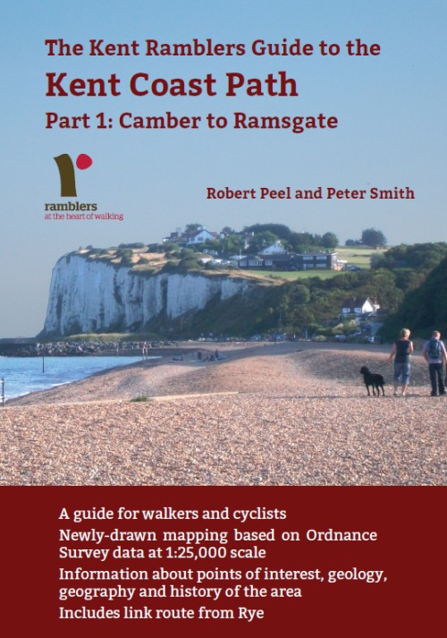
Guide to the
Kent Coast Path: Part 1, Camber to Ramsgate
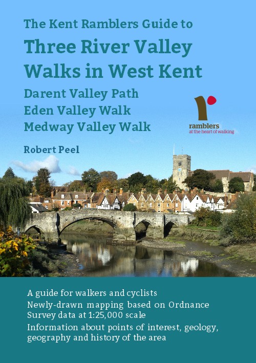
Guide to Three
River Valley Walks in West Kent: Darent Valley Path,
Eden Valley Walk and Medway Valley Walk
Please report any problems with this walk to
info@kentramblers.org.uk.
Ramblers' volunteers in Kent work tirelessly to
ensure that our paths are as well protected and
maintained as possible. Of course we also organise
led walks but most of our members are independent
walkers who simply want to support our footpath work.
Please
join us and become a supporter too. You need
us and we really need you.
Map contains Ordnance Survey data © Crown copyright
and database rights 2019. Some paths on map are based
on data provided by Kent County Council but do not
constitute legal evidence of the line of a right of way |