Groombridge & Withyham
Distance: 9.6 Miles ( hrs 40 mins)
OS Map: Explorer 135 (Start at grid
reference TQ531373)

Click map to enlarge and click
again to enlarge further
Park in the free public car park
off Station Road in Groombridge – if approaching from
Groombridge Hill it is quickly reached on the left after
turning into Station Road from the mini roundabout.
Cross Station Road, head up
Corseley Road and follow past church and school (where
you join the High Weald Landscape Trail, which you will
follow all the way to Withyham church), bearing right at
top and after another 150 metres bearing left downhill
past start of Forest Way.
Just after water works, take path over stile on
right. Cross
footbridge, go under railway and bear diagonally left
across field.
Climb initially but soon descend to stile/gate
and enter long grassy glade.
At far end enter more woodland, rich with
bluebells in spring, keeping left and emerging onto lane
at Motts Mill.
Keep right along lane and after last house take
first path on left.
Bear right downhill and cross
footbridge.
Follow right hand edge of field to bridge and cross
stream again (although on the OS map the path never
crosses the stream at all).
Follow track through wood and immediately after
crossing metalled drive turn sharp left downhill to
cross stream and enter field.
Bear right uphill to gate and pass through
section of woodland.
Pass some sandstone outcrops and follow ridge to
gate.
Initially follow wide track between fences but when
signs indicate go through gate on right and follow
narrower path with fence on left and woodland on right.
After hedge on left go through metal kissing gate
on right. Go
between buildings (Home Place and Park House) and down
lane to road.
Cross road and turn left along
verge. Take
path on right downhill between deer fences.
Cross valley bottom to left of timbered house and
climb other side to grass between deer fences, through
wood and across another field to Whitehouse Lane.
Turn right down lane to junction
with road.
Go straight across to sunken track opposite, uphill
through wood and over stile into field.
Climb along right hand edge of field past house
then cross field to corner of wood.
Don’t take path into wood but bear left downhill
across corner of field to enter wood and bear left.
When Buckhurst Park comes into view bear left
downhill to drive and turn right.
Turn left at lake and follow drive down the
valley, passing another lake on right and a chalybeate
spring on left, to Withyham.
Turn left (but the Dorset Arms is
on the right if you want refreshment), crossing the road
carefully.
When the pavement on the right ends, cross the road
again and take path through gate, uphill across field
and into churchyard.
This path was opened in 2010 following a campaign
by Sussex Ramblers leading to a public inquiry as the
landowner refused to recognise the right of way.
Bear right round the church and go down steps to
drive where there are seats.
After admiring the view head downhill, now
leaving the High Weald Landscape Trail but joining the
Wealdway, bear left at a fork and turn left along the
main road.
Take path on right just after
bridge.
Head straight across fields and cross Forest Way.
Bear right across footbridge over Medway and
follow Wealdway, in due course joining a drive and
emerging onto a lane at Summerford Farm.
Cross lane and follow Wealdway
along left hand edge of fields, over two bridges in
copse along left hand edge of another field and over
another bridge.
On reaching a bridge over stream on left and at
right angles to route, don’t take westbound path across
bridge but bear right across field to bridge over
Medway.
Continue to next bridge and on far side turn left across
field and footbridge.
Go under railway and continue to junction of
paths in clearing where Wealdway goes forward uphill.
Leaving Wealdway,
turn right and at end of field go through gate
on left and across field into woodland.
Climb through woodland and on meeting a broad
track, continuing to climb through woodland and over
stile into field.
Bear right to top corner of field, go over stile
on right and across left hand edge of field to another
stile. Enter
woodland and keep left to meet Burrswood drive.
Go up bank opposite and take path
straight across field to Groombridge Road.
Turn right and follow to the triangular green in
Groombridge.
Bear left across green and cross Groombridge Hill
(B2110) to take path just to left of church.
Cross drive and skirt to left of lake.
Go down steps towards Groombridge Place, along
edge of moat then right across bridge second bridge over
Grom to path between fences.
Follow to recreation ground and along right hand
edge to car park.
|
Points of Interest
Chalybeate Spring

The spring is on the left about half way along the
drive from Buckhurst Park to Withyham in a brick
structure. Chalybeate springs are common on the
sandstones around here, water containing supposedly
health-giving iron salts emerging where the porous
sandstone meets the clays below. The best known is in
the Pantiles in Tunbridge Wells but the brown sludge
oozing from this spring looks most unappetising.
Groombridge Place

The present house was built in 1662 with the help of
Sir Christopher Wren. Diarist and horticulturist
John Evelyn helped with the garden. The garden,
but not the house, is open to the public with
attractions in the "Enchanted Forest" aimed at children.
Public Transport
Both Groombridge and Withyham are accessible by bus
from Tunbridge Wells.
In addition to the walking routes on our web site we
have published three popular walking guides:
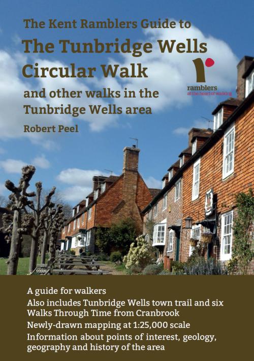
Guide to Tunbridge
Wells Circular Walk and other walks in the area
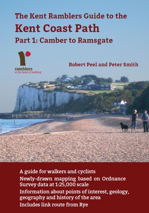
Guide to the
Kent Coast Path: Part 1, Camber to Ramsgate
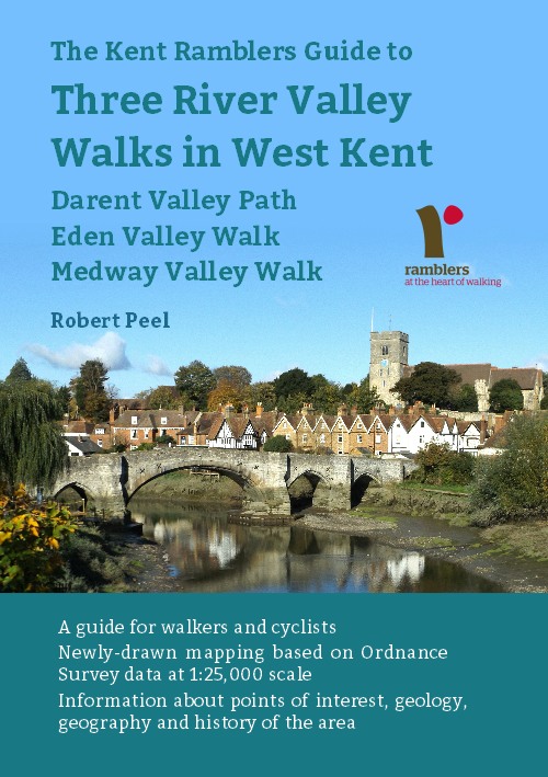
Guide to Three
River Valley Walks in West Kent: Darent Valley Path,
Eden Valley Walk and Medway Valley Walk
Please report any problems with this walk to
info@kentramblers.org.uk.
Ramblers' volunteers in Kent work tirelessly to
ensure that our paths are as well protected and
maintained as possible. Of course we also organise
led walks but most of our members are independent
walkers who simply want to support our footpath work.
Please
join us and become a supporter too. You need
us and we really need you.
Map contains Ordnance Survey data © Crown copyright
and database rights 2022. Some paths on map are based
on data provided by Kent County Council but do not
constitute legal evidence of the line of a right of way |

